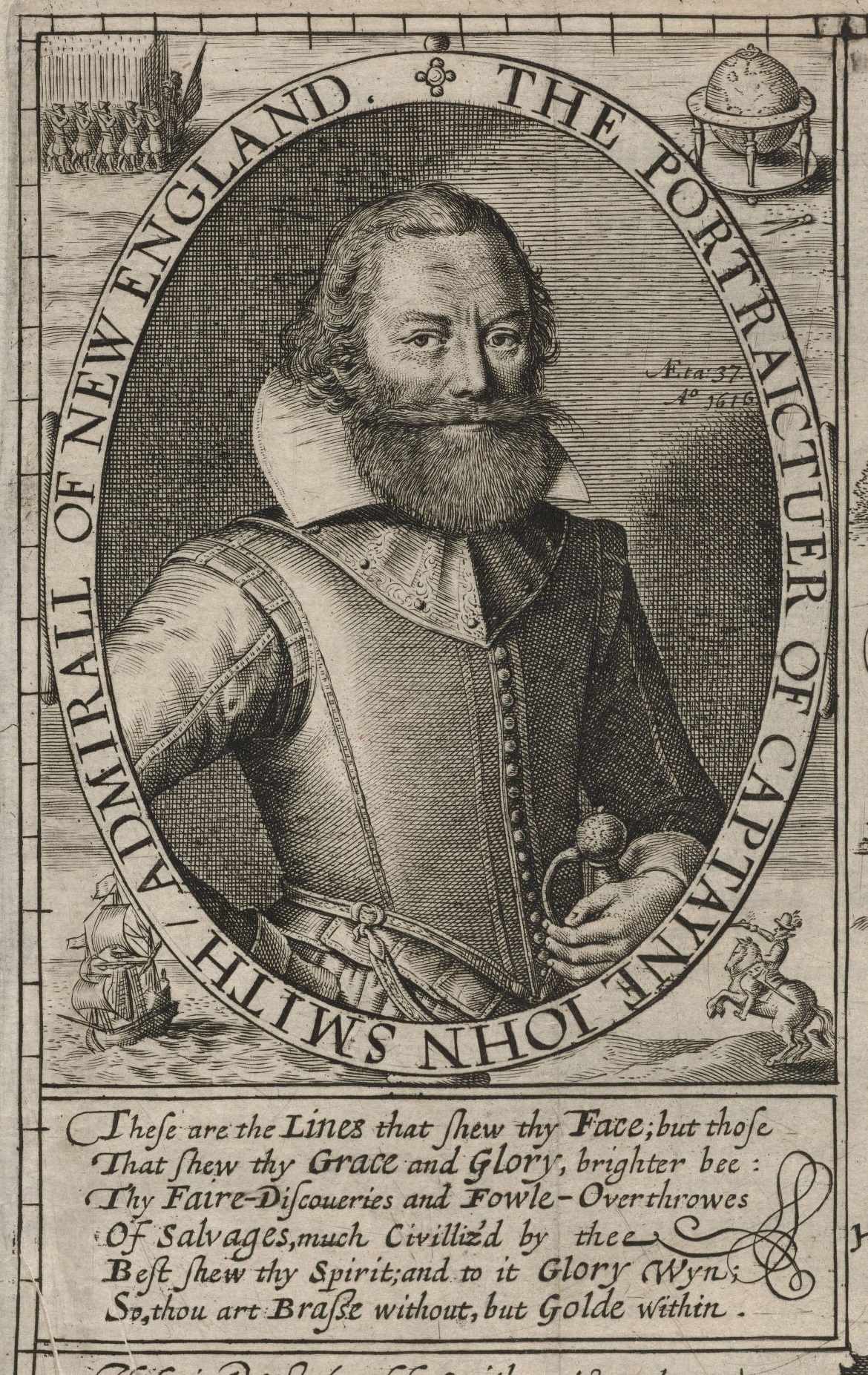
When Captain John Smith sailed the Chesapeake Bay, he named the vast unexplored marsh and woodlands east of what would become Kent Island Brooke’s Forest, and the channel separating the island from the Eastern Shore mainland was at one time so narrow and shallow it was called the Wading Place.
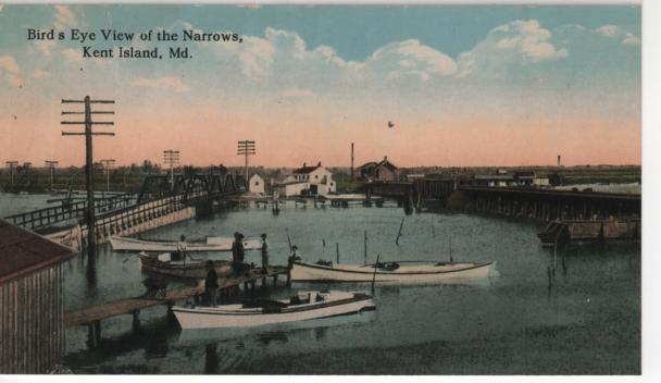
The exact geographical range of the Wading Place is debated, but it was somewhere in the area of present-day Kent Narrows. Frederic Emory, whose definitive 1872 history book, Queen Anne’s County, Maryland, says “It began at the head of Piney Creek” which is northwest of Kent Narrows off the Chester River, yet a few old-timers remember when the vicinity around the Chesapeake Bay Environmental Center in Grasonville, south of Kent Narrows near the upper reaches of Prospect Bay, was known as Wading Place Farm. In either direction, those couple miles are now decidedly unwade-able.
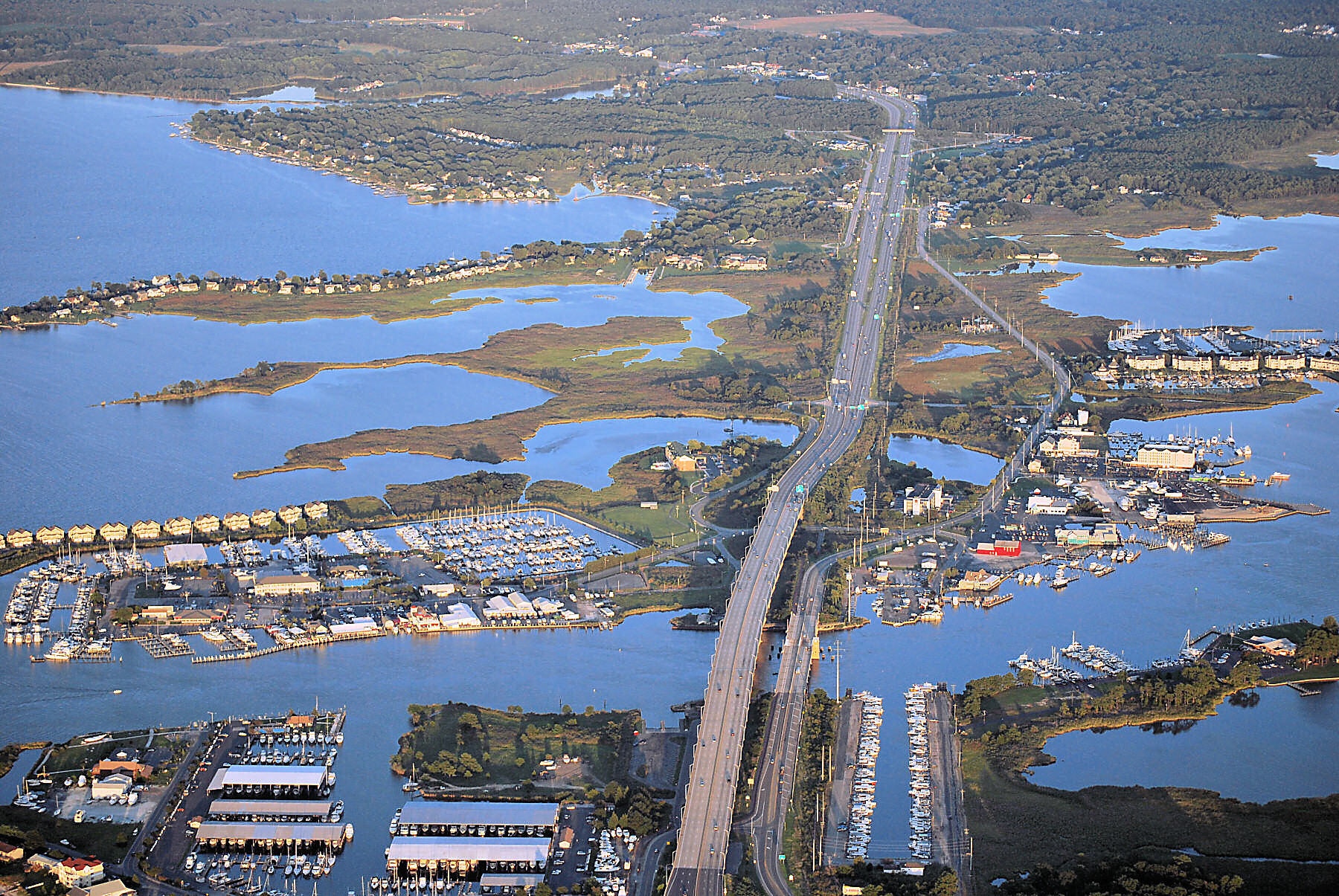
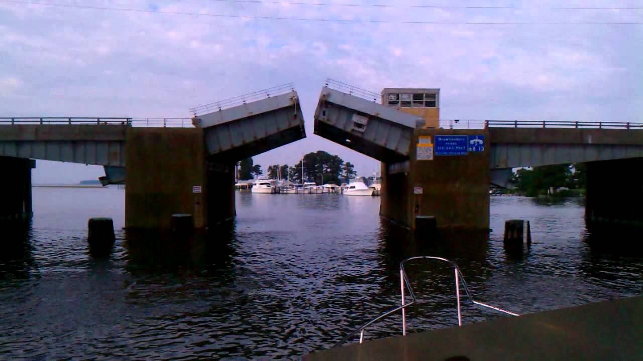
In the colonial period, a small ferry crossed Kent Narrows. In 1820, Captain James Hopkins built the first causeway of “logs, stones, earth and shells” to connect Kent Island to the rest of the Shore. In 1902, the Queen Anne Railroad, which ran from Lewes, Delaware to Queenstown, extended its track 13 miles over Kent Narrows and north to Kent Island’s Love Point. Today, the six lane highway that opened in 1990 towers over the 1952 drawbridge that many of us grew up with.
The British army came ashore here in the War of 1812. Hesitant to strike the cities of Annapolis and Baltimore, a force of up to two thousand men erected a battery at Kent Narrows and from that vantage point made forays onto the mainland. Suffering from fever and scurvy, the troops needed food badly, and they took advantage of the access to crops, game and livestock. On August 13, 1812, 1,500 British soldiers assembled in the early morning hours to make a surprise attack on Queenstown and Centreville. Barges full of men went up the river to assist. The boats got lost. Off-Island militia ambushed the troops marching along the way, surprising the Brits so badly several were shot by startled comrades. Recent studies indicate events did not transpire as locals have always told it, but the woods at the corner of Route18 and Bennett’s Point Road where this bloody encounter was supposed to have taken place has been known as Slippery Hill for as long as anyone can remember.
Around the beginning of the 20th century, Charles Nash and his son moved their seafood packing house from another location to the northeastern Kent Narrows peninsula, where Pete Baxter

had also started an oyster shucking business. Eventually there would be up to 14 packing houses, usually owned by entrepreneurial watermen, on that side of Kent Narrows and the area grew into one of the Eastern Shore’s economic hubs.
“I remember,” says Grasonville-born Jack Coursey with a chuckle, “when there were a dozen oyster houses at Kent Narrows and one restaurant. Now there are about a dozen restaurants and one oyster house.”
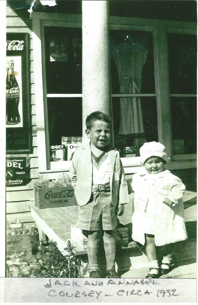
“My father was what today would be called an entrepreneur,” Jack smiles. “He was always looking to get into things, so he built an oyster house down Kent Narrows, on the same property that became the Harris family’s seafood operation.
“After my father sold that first oyster house to Kent Islander, Holton Harris, he bought a piece of property on Kent Narrows south on what I’ve called Well Cove all my life. Now I see signs there call it Wells Cove, but I’d always heard they called it Well Cove because there was an old well there and the watermen who walked a mile or more to get to their boats would fill their water jugs there instead of lugging them from Grasonville.
“It wasn’t always the case,” says Jack, “but there was an impression that Kent Islanders – Carroll Baxter, the Nash Brothers, John R. Coursey – mostly owned the oyster houses on the north side, while people from Grasonville were on the south.
“All the oyster houses were on the Eastern side of the Narrows, none on the Kent Island side, over there was just marsh.
“The oyster houses dominated the local seafood market, though there was a good bit of crab picking. With the advent of clamming after World War II, after Fletcher Hanks invented the hydraulic clam rig, wat we called mannose, soft shell clams, became more popular.”
Jack says, “Daddy subdivided that Well Cove property and sold the waterfront oyster house parcel, where The Jetty is today (to Ralph “Skeeter” Thomas and his wife Katie) for $250. They were the first to run a restaurant and bar business there. Last time I checked the assessment for that property, the land value was around $400,000.”


Did i ever give you that 1658 map from Gardner’s Farm with the Wading place on it? Toni and I did a lot of research on it, but, can’t remember if i gave it to you.
Are you going to be on the island Saturday afternoon? I’ll take it to Kirwan’s with me, or maybe sometime next week.
Not sure when I’m going to be down your way next, Linda – I’ll check in as soon as I do!
Never saw it, Linda, but would love to!
Enjoyed this piece.
Norma Coursey
410-490-1307
Ashley Premier Properties
410-758-3000
Great stuff, did it in 7 minutes, I can do that !!
Thank you for putting us in our place, so to speak! When friends want to know something about where I live, I can direct them to you, your blogs, and your wonderful book, Bloody Point, 1976!
Brent, where did you get the picture of Pete Baxter?
Deb Thompson Hull Langrell shared it on my facebook page. Joan. As frustrating a social media can be, it can be amazing too!
Really enjoyed reading this……….as I do all your work Brent!
Thank you Dixie!
ha brat we need to talk about my granddad and what he done for kent narrows and the waterman in this area
We should do that sometime, Joe.
Hi Brent,
I was wondering if I need permission to use one of the images on this site (the aerial of Kent Narrows) in a fundraising piece for the Kent Island Library.
Thanks,
Rob
hey Rob – email me at whiterubberboot@gmail.com – let me know specifically the picture(s) you’re most interested in and we’ll discuss. Thanks!